


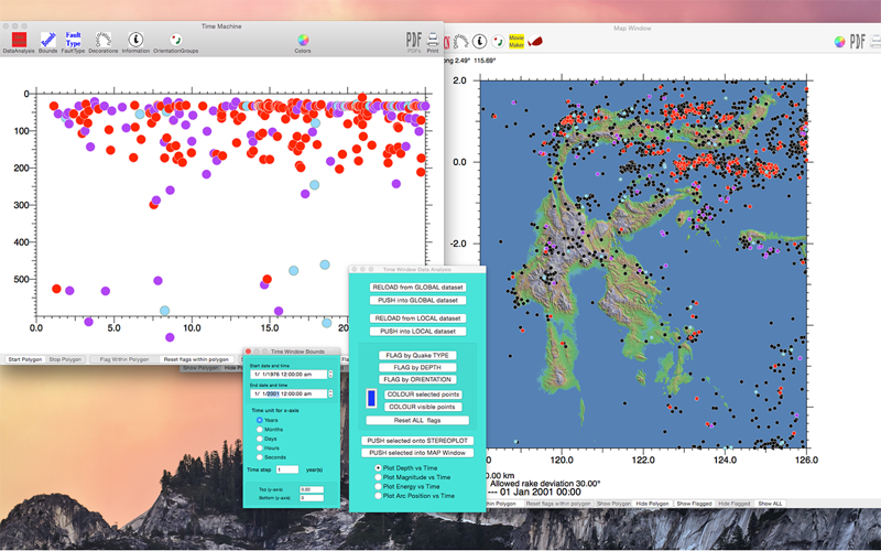

Allows geologists to examine earthquakes, including properties such as focal plane data and hypocenter distributions. This is most useful in examining patterns of seismicity in tectonically active areas. Data can be analysed in several standard formats, such as produced by the International Seismological Centre, or the Lamont Doherty Earth Observatory Global CMT project. Cross-sections can be produced in arbitrary orientations, and centroid moment tensor data can be analysed interactively using stereographic projections.
eQuakes utilises a document architecture, storing the results of an individual analysis, so eQuakes is able to start where it left off. Maps and cross-sections can be examined, and interpretation of cross-sections for seismotectonic analysis including tomography data.
A Deep Earth Flier can be used to determine mesh interpolation density and to enhance the colour sensitivity to better distinguish the skeletal form of the data anomalies, improving recognition of subduction geometries. Map images can be registered using an associated XML datafile. Skeleton tracing allows the geometry of subducted slabs to be outlined.
Tomography data can be sectioned using a probabilistic interpolator. This allows juxtaposition of earthquake data with tomographic images produced in the Deep Earth Flier.